Wayfinding system design
This is a designer-led system for wayfinding strategy, scheduling and implementation. The system creates an efficient process that reduces the risk of error leaving the wayfinding designer more time for design and quality control.

What’s involved in wayfinding?
Wayfinding projects are not always given the onus they deserve. There is a huge amount to think about, it’s not simply pointing out the nearest toilet in a beautifully designed, bespoke typeface with complementing arrowhead. First and foremost it’s about how people interact with a space.
When starting on a project there are a myriad of questions that need to be answered

If these users were left to their own devices where would they go? But is that where you, the designer, wants the users to go? And what do the users want to do? To see? What might they need along the way?
Let’s assume you’re relying on a system of signs. Where do these signs go? What goes on them? What they look like? How are they made? What are they made of? Who makes them? When are they made? When are they installed, and by who?
You get the idea. Whether a small or large project, achieving a good wayfinding system requires a lot of answers. And implementing this requires a huge amount of work and organisation.

Wayfinding packs
Producing a wayfinding pack* is a fairly small part of the whole design process. But it is key. It is used to communicate between designer, client, architect, engineer, manufacturer and installation team. And during this process, many issues are identified and problems solved.
*A wayfinding pack is a collection of documents such as product/sign schedules, plans, elevations, artwork lists that provides details on a wayfinding system.
Design processes vary between companies and sometimes even between projects which means there can be huge variations in wayfinding packs. There are no external standards or working practices that could create uniformity amongst these documents.

Building Information Modelling
Architects and engineers are often required to conform to particular standards. Such as Building Information Modelling (BIM). BIM Level 2 is becoming commonplace in many architectural projects. Recently, with the introduction of BIM level 2 on all government builds, many architectural practices are adopting these methods
So it is important that wayfinding designers have an understanding of BIM and architectural processes to communicate effectively… just to add to our list of worries!

The problems
Formulating wayfinding packs is a time-consuming process and is often one of the last things to be done. And so often, with a small design team time is a valued resource. The same data, such as sign dimensions, is replicated across multiple, sometimes huge documents, all hand-typed, the risk of mistakes are high.
Scheduling can become complicated often requiring manual entry of information. These can get out of hand and, again, there is a high risk of error. So, checking these documents takes up a lot of time, and even then, there is a chance that there will be mistakes.
Sometimes these mistakes come at a cost, sometimes financially, but, more often than not, they cost time.

Each project stakeholder (Architect, Artworker, Manufacturer, Client etc) requires different data about the signs/products. And giving unnecessary information could lead to more mistakes. For example, an artworker requires a different set of information to an Electrical engineer. If you were to give an Engineer the details on which arrowhead to use they’re not going to be interested. And vis versa, if you were to give an artworker the power requirements for a sign they’re unlikely to be interested.
The presentation of wayfinding information in packs and schedules is often an afterthought. Whilst it’s not the most important thing, as designers we understand that clearly laid out information can help a reader understand. Or more importantly, badly communicated data can lead to mistakes.
Wayfinders that understand and accept BIM standards provide added value in the competitive world of wayfinding.

The Solution
The way I work is slightly different, I use a combination of CAD and Excel to create a system that has all the data in one document so data is only input once. That means there is only one place to amend an issue.
The system is designed for designers – often visual and pattern thinkers - so much of the data is geometric and mathematical and is linked to an object.
Whilst this system does not remove all risk of errors it does reduce the time spent manually inputting the same data repeatedly and reduces fatigue. There are regular checks to eliminate common errors. This system gives the designer more time for design and quality control.
Plans and Elevations are closer to BIM standards than many companies' current systems. And schedules can be exported simply. The data included in the schedules can be changed to meet the stakeholders requirements.

As simple system, designed for designers
Using the system is simple, it was designed for wayfinding designers, but inexperienced users (with no prior knowledge of AutoCAD) were able to be up and running in a matter of weeks. Maintaining the system requires an intermediate-advanced knowledge of some features of AutoCAD and that’s where I come in.
This goes beyond a standard scheduling system. The development of artwork and product coding systems, alongside internal best practice guides, means designers can easily identify products and there creates conformity throughout schedules, closer to architectural standards.
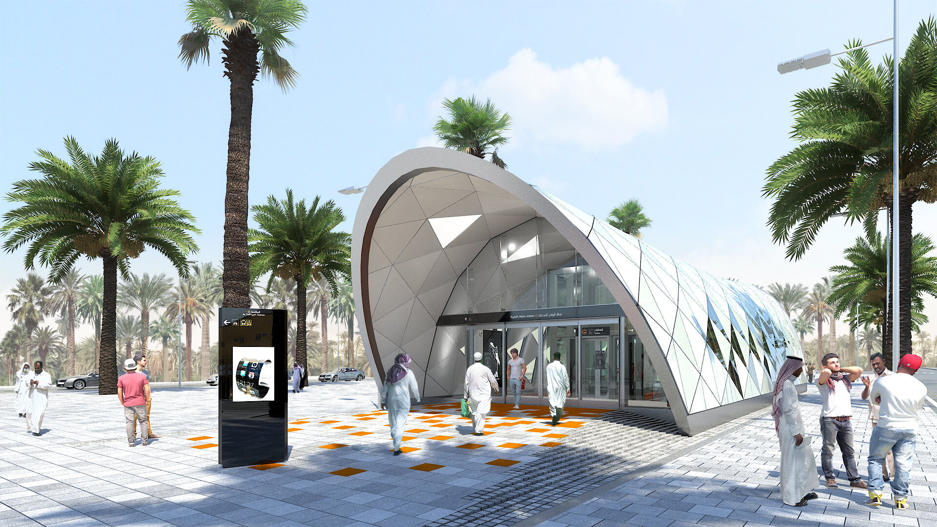
This project was developed for the Riyadh Metro project and proved very effective. It allowed two people to create entire wayfinding systems, for mid-sized metro stations, in less than 120hrs per station. This included pedestrian flows, sign location plans (Wayfinding and Emergency Evacuation), wayfinding schedules and artwork for between 200 and 300 signs.